Embark on unforgettable off-road adventures with BroncoSafari! Explore diverse trails, from scenic routes to challenging terrains, tailored for every skill level.
Unforgettable Off-Road Adventures with Our Featured Trails
Explore our hand-picked selection of trails, each offering a unique off-road experience. From scenic routes to challenging terrains, find the perfect adventure to match your skill level and create lasting memories.
Find Your Trail
VRGC Basecamp Easy Moderate Difficult
2 trail(s) don't have GPS coordinates yet and won't appear on the map — see the cards below.
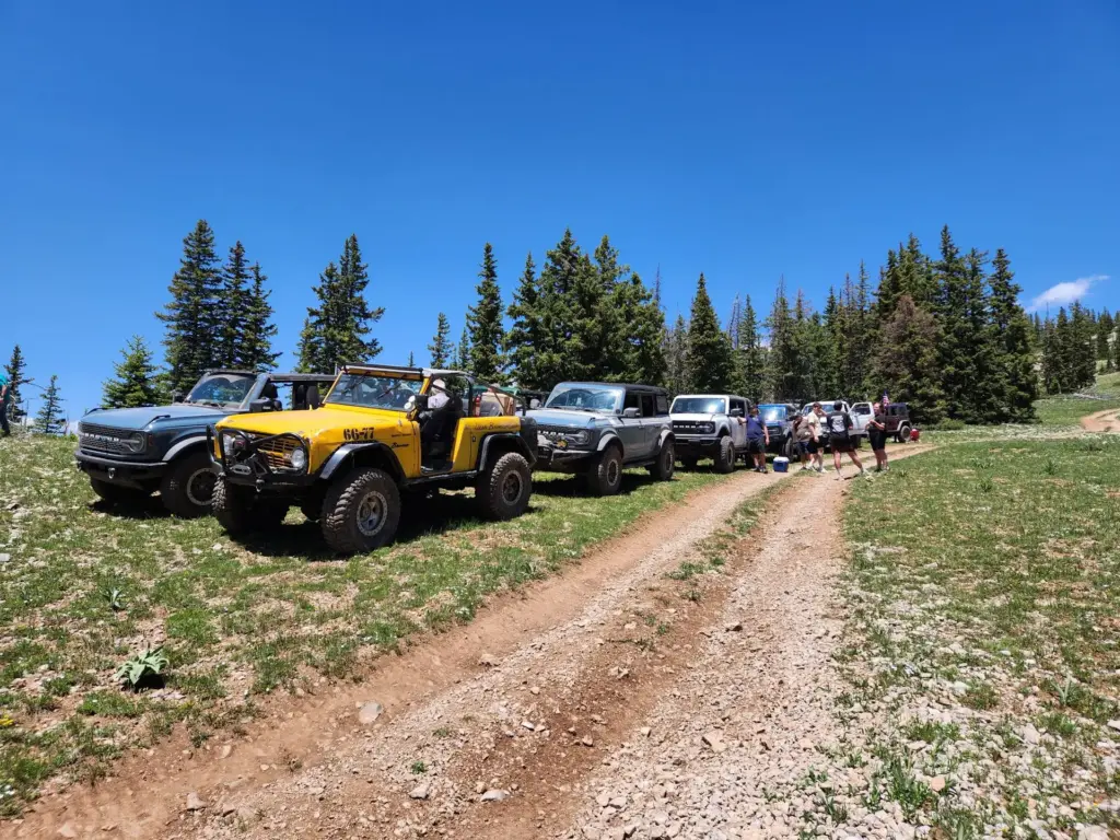
High elevation trail with spots above 9,500 feet. Several water crossings that vary with run-off, scenic overviews, high elevation forest two-track roads, and a mid-point ascent up a tight, rough, boulder-covered mountain trail with steep climbs.
Just south of Vernal, winding through a canyon full of unique rock formations above the Green River, then climbing to the top of Asphalt Ridge for a view above Vernal and Split Mountain.
A modified route through Doc’s Beach designed for the buggy crowd. The 12-rated Burnt Ends obstacle isn’t required, but expect time spent there. Buggies only — not recommended for full-bodied vehicles.
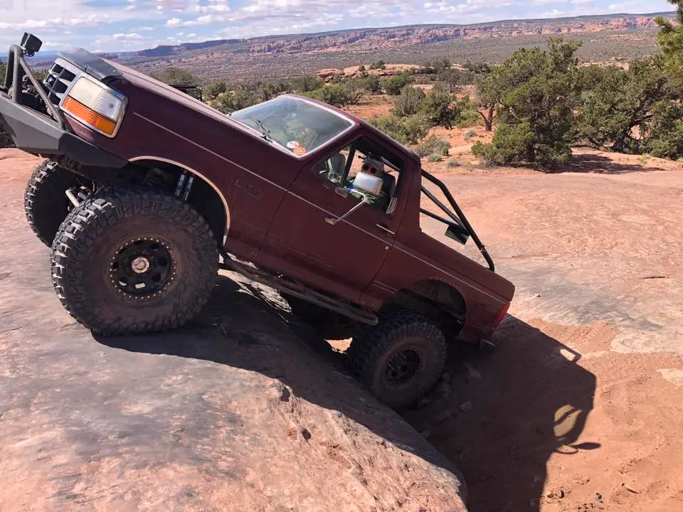
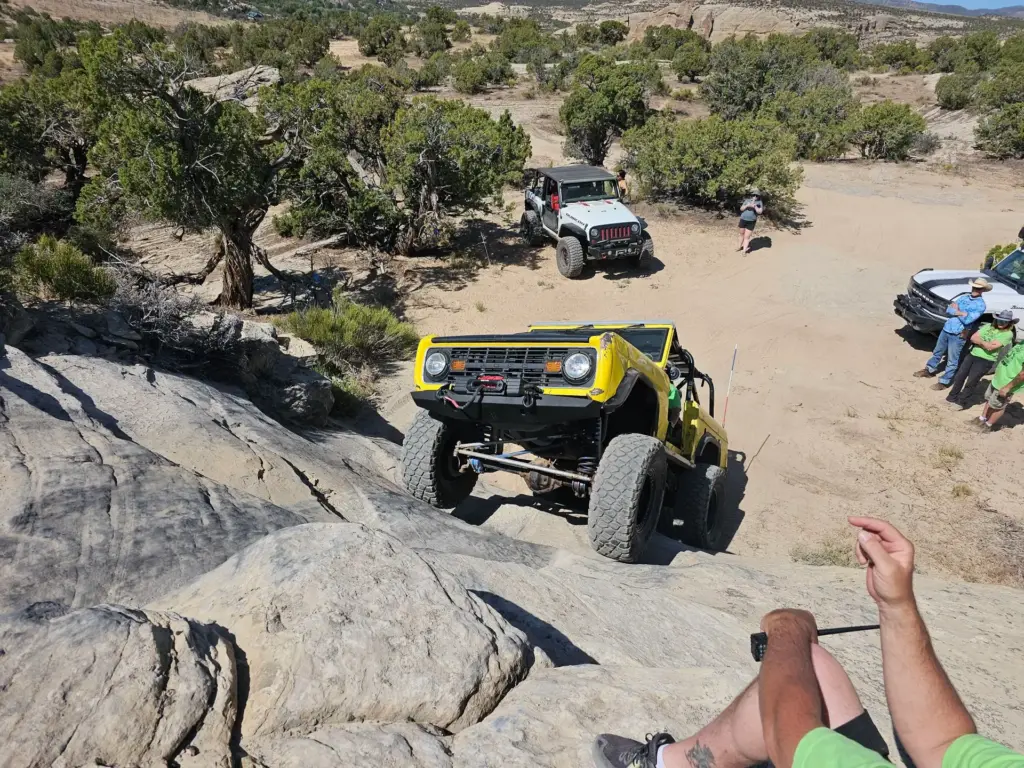
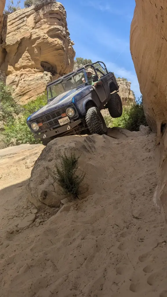
One of the pinnacle trails of the Vernal area, known for its grippy sandstone surface and moon-like appearance, with views of Dry Fork Canyon. Visits the popular cave and “Dear Crack” attractions. Experienced drivers only.
Begins west of Vernal at 5,500′ elevation, climbs the north face of the Diamond Rim to about 8,000′ with views of Vernal, Steinaker and Red Fleet reservoirs, then continues to the Grizzly Ridge Yurt at 9,000’+.
Near the Jensen area, starting with a view of Split Mountain and traversing juniper canyons, including a short walk to Native American pictographs, before climbing to the top of Blue Mountain.
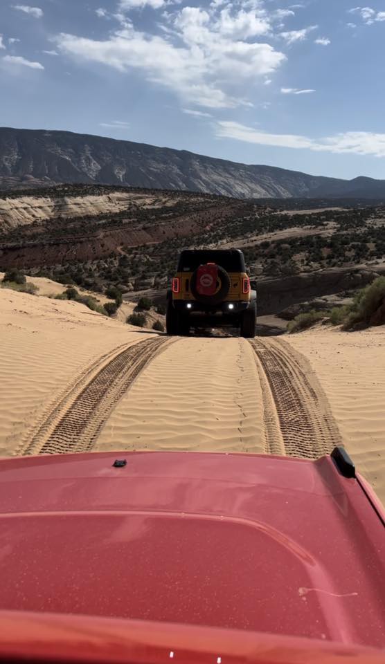
Departs the rod and gun club on sandy two-track roads past sandstone outcroppings and Native American petroglyphs, continuing to Steinaker State Park and on to the Moonshine Arch trailhead.
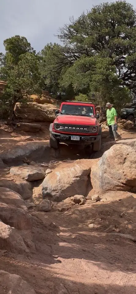
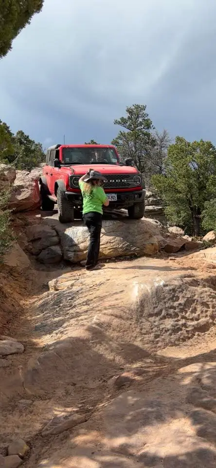
One of the most scenic trails of the event, with views reminiscent of the Rubicon Trail. The more difficult of the two Red Mountain loops — no bypass through Commando Corner. 2 lockers recommended.
The less difficult of the two Red Mountain loops, with the same scenic high-elevation pine terrain and an old cabin for a lunch stop. Front or rear locker recommended.
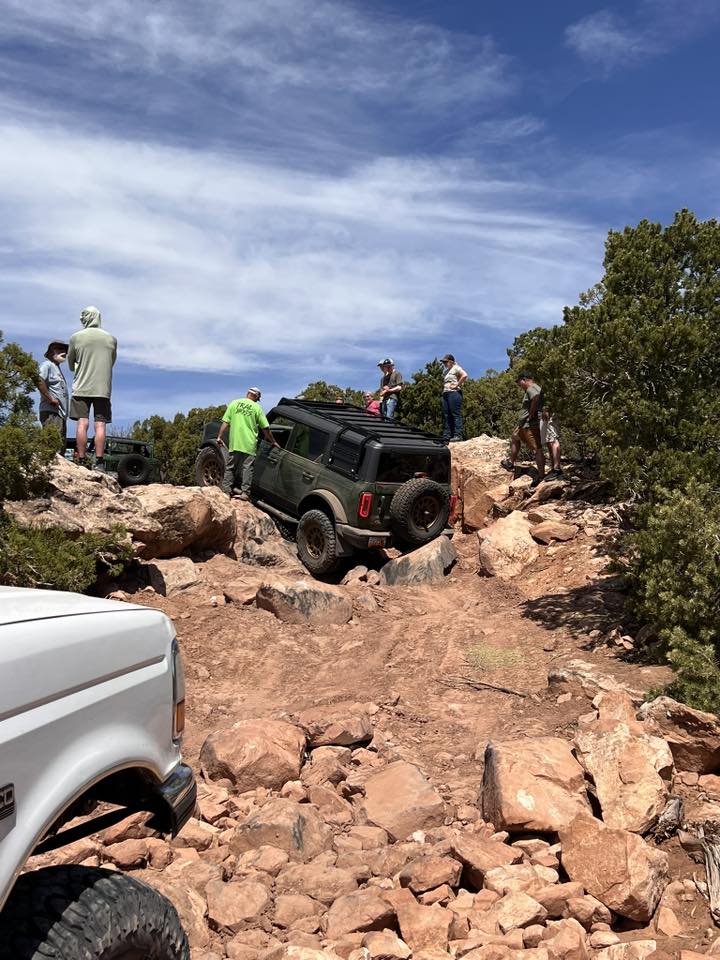
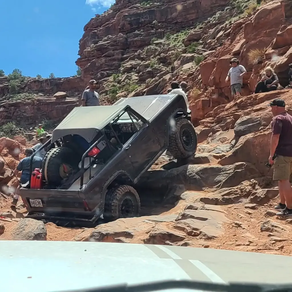
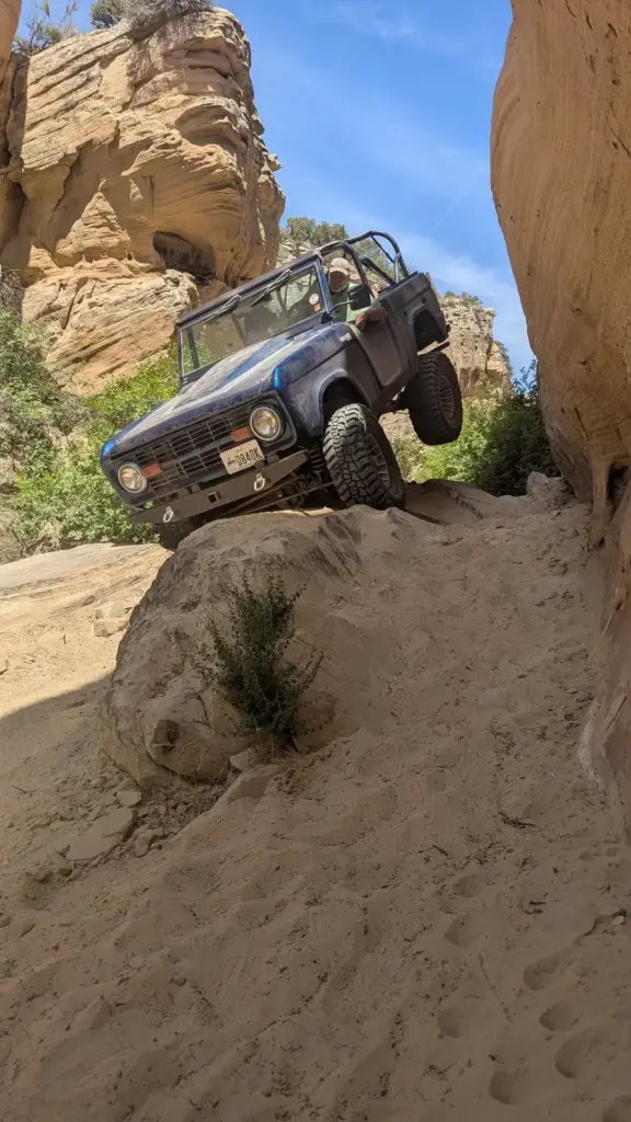
A well-known hard-core rock crawling area from the old UROC days. A difficult trail through a tight gulch with off-camber bends and waterfall obstacles. Experienced drivers only.